
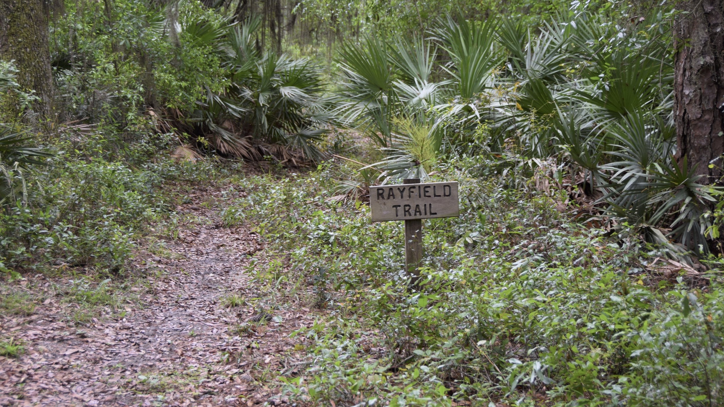
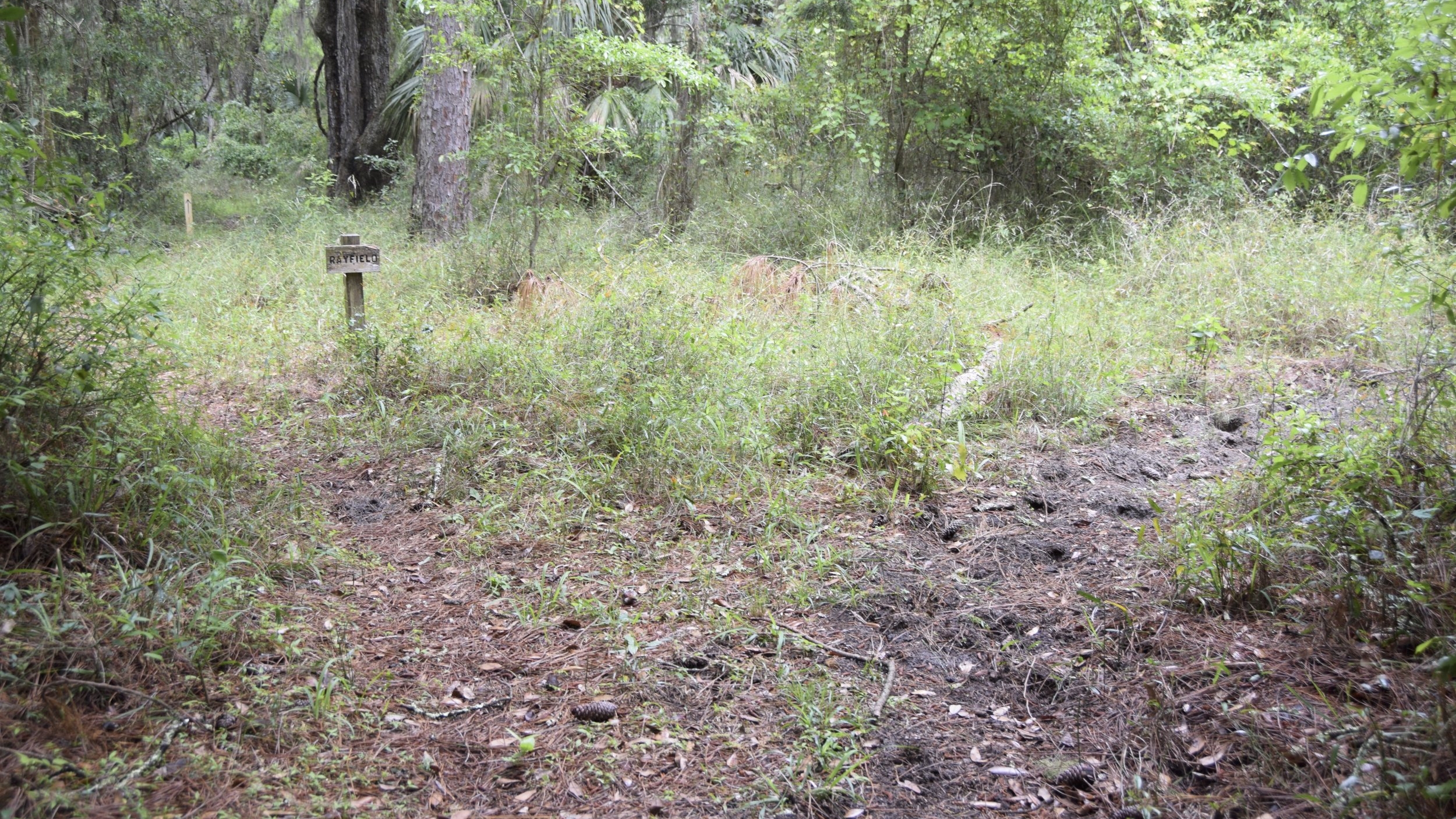
Rayfield Trail
Distance - 1.2 mi.
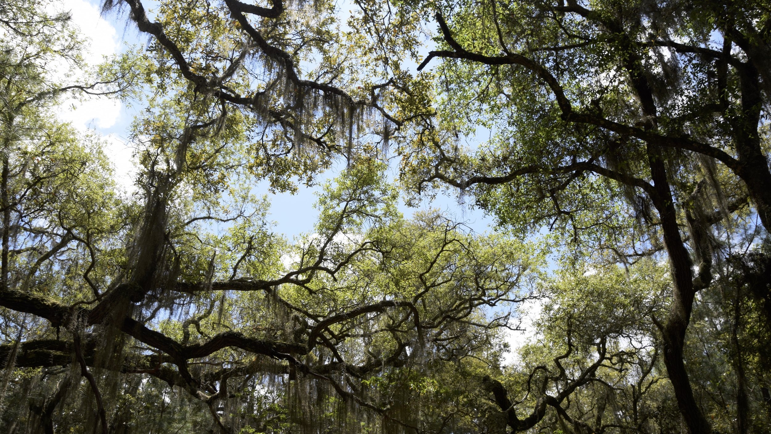
Rayfield Trail runs north-south, beginning at the Main Road on the north end, then running through Kings Bottom Trail ending at Ashley Pond Trail. Rayfield is characterized by its wide open spaces, scenic views of Cumberland’s tidal creeks, and beautiful pine forests. Hikers can use Rayfield to access the Table Point/Ashley Pond/Kings Bottom Trail complex. The north end of the trail ends at the Main Road, across from Oyster Pond Trail, which is an excellent avenue for hikers to explore the east and west side of the island without having to traverse the dusty Main Road.