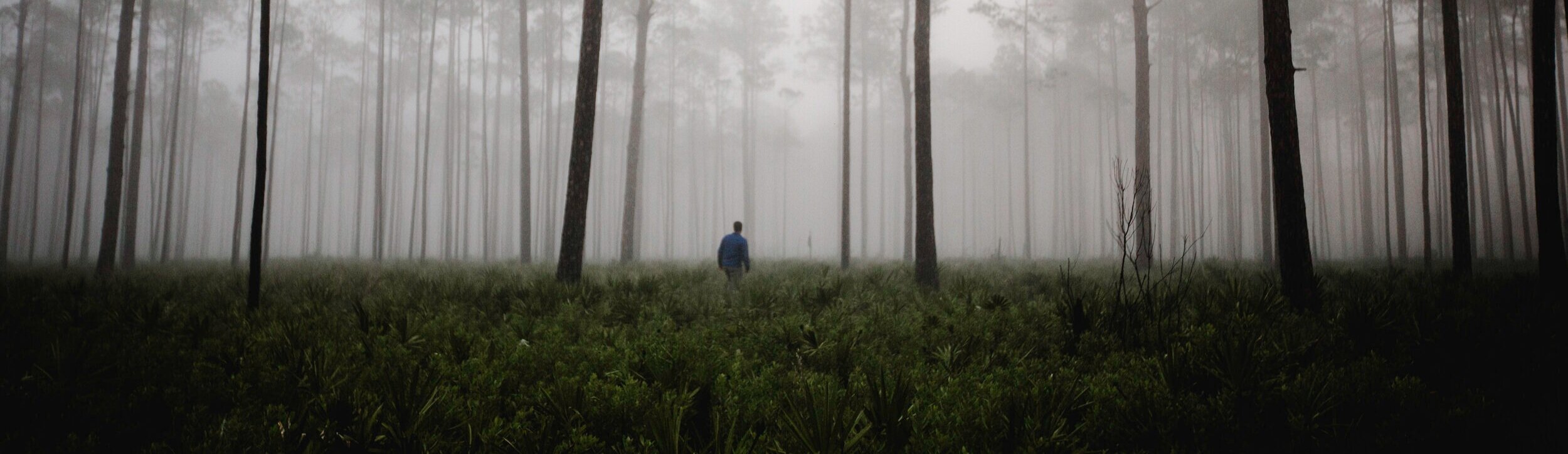
Georgia Now & Forever
Georgia Now and Forever is a long-term, cross-programmatic initiative to develop and advocate for a vision to ensure a sustainable future for Georgia.
Just as a tree sets down roots before growing tall, or a homebuilder lays down a solid foundation before raising the frame of a house, the first step to building a sustainable future for Georgia is to study the resource that underpins everything we know and love in our state: the land beneath our feet.
Led by the Georgia Conservancy in collaboration with partners, including Georgia Tech's Center for Spatial Planning and Visualization (CSPAV), Georgia Now and Forever (GNF) seeks to document, analyze and gain an understanding of our state's shifting land cover over the past 50 years -- in other words, as long as satellite imagery has existed. Using the knowledge of development trends and land cover change gleaned from that analysis, we will project forward 50 years into the future to better comprehend the impacts that growth will have on our state's environmental and economic sustainability. From there, we will share this knowledge across Georgia with policymakers at the local and state levels, advocating for effective and judicious policies that can foster a resilient Georgia for the benefit of all Georgians.
The Georgia Now and Forever vision encompasses many things, including the health of our natural systems, the prosperity of our local economies, and the vitality of our diverse communities.
Why land Cover?

Land cover (n.): the physical material on the surface of the earth. Land can be covered with a variety of things, including forests, row crops, grasslands, wetlands, as well as buildings and asphalt.
Land cover differs from land use in many cases, in that land use typically describes how local governments regulate the purpose certain tracts of land serve -- for example, if land is used for housing, business, or industry. Land use can parallel land cover, especially when active forestry or agricultural productivity makes up a big part of the jurisdiction's economy.
Often, a land use category prescribed for a tract does not necessarily describe what's on the land. A parcel may be zoned for single-family housing but hasn't yet been developed as such. Or perhaps a tract reserved for "agriculture" has been protected through a conservation easement and is instead maintained for wildlife habitat as opposed to food production.
Studying land cover in our state can help us understand the prevalence of our state's natural resources, not only in the present but also over time. Trends in how our forest cover has changed hold great implications for our ability to decarbonize. Trends in our agricultural lands affect our state's biggest economic sector, not to mention our ability to feed ourselves and other parts of the world. Trends in our development patterns can show us how humans have altered the landscape and can give us clues about how to grow more sustainably in the future.
What Can GNF Tell Us?

Georgia Now and Forever seeks to demonstrate trends in our land cover change over time across different jurisdictions and scales. The initiative aims to provide background education and policy-based tools that local leaders can use to promote sustainability and use land efficiently in their community. Though it is true that no jurisdiction in Georgia has seen a decrease in development, each city, county, or region will have different growth-related challenges. The outcomes of GNF can provide policymakers and passionate residents with some exciting mechanisms for creating local change that can lead to a more sustainable Georgia, now and forever.
Georgia Now & Forever has been generously supported through a grant by the Georgia Power Foundation. Click here to learn more about their support.

GNF STATUS REPORT
Finalized analysis of Georgia's historical land cover with data specified for various boundaries, including all 159 counties, 12 regional commissions, 52 watersheds (HUC-8 boundaries), and 28 eco-regions of our state.Engaged with Georgia Tech's CSPAV to build forward-looking scenarios based on existing trends, including one that depicts land cover change under business-as-usual conditions.Begun assembling educational materials -- including an interactive, comprehensive digital tool -- to communicate our findings.